
LO · ATLAS ENTRY#8158
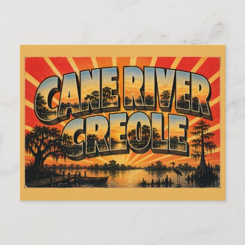
Cane River Creole Louisiana Oxbow Lake Mossy Oaks Postcard
Cane River Creole arrives on the Louisiana route as a vintage postcard of oxbow lake, live oaks, and cypress trees.
View at the storeLouisiana · place route
Cane River Creole appears on the Louisiana route in the United States with vintage-inspired postcard designs of Live Oaks, Cypress Trees, and National Park.
The atlas files a single vintage-style postcard design for Cane River Creole on the Louisiana route in the United States, built around oxbow lake, live oaks, cypress trees, and national park. Open the card below for its current details at the store, or follow the Louisiana route to see what else is filed nearby. Other stops on the same route include Abita Springs, Atchafalaya Basin, and Avery Island.
Cane River Creole index
Choose a design to view its current details at the store.
Cane River Creole arrives on the Louisiana route as a vintage postcard of oxbow lake, live oaks, and cypress trees.
View at the storeOn this page
Short answers drawn from the atlas itself.
The design filed for Cane River Creole is drawn around oxbow lake, live oaks, cypress trees, and national park, in the vintage travel style used across the atlas.
Cane River Creole is filed on the Louisiana route in the United States in the Old Route Retro atlas, which organizes every design by country, state, and place.
One design is currently filed for Cane River Creole.
Alongside Cane River Creole, the route includes Abita Springs, Atchafalaya Basin, Avery Island, Baton Rouge, and Bogue Chitto State Park, each with its own place page and cards.
Every card on this page links to the store listing where it is sold, so the current price and shipping details come straight from the store.
Each place page gathers its own postcard designs.